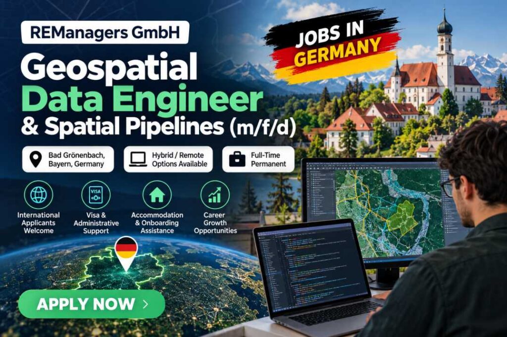
REManagers GmbH is seeking a Geospatial Data Engineer & Spatial Pipelines (m/f/d) in Germany for a full-time, permanent position focused on geospatial data engineering, spatial analysis, and automated data pipelines.
The opportunity is suitable for candidates with backgrounds in geoinformatics, computer science, data science, or related technical fields. Applicants should have programming experience in Python and familiarity with PostgreSQL/PostGIS databases.
The position is based in Bad Grönenbach, Bavaria, Germany, with hybrid or remote working options indicated in the listing. The original vacancy also mentions support with accommodation, onboarding, and immigration-related administration for eligible international candidates.
International applicants, including qualified candidates already in Germany or planning to relocate, may be considered. However, applicants should confirm their individual work authorisation and eligibility for any visa or residence permit support directly with the employer.
Job Overview
- Job Title: Geospatial Data Engineer & Spatial Pipelines (m/f/d)
- Employer: REMangers GmbH
- Location: Bad Grönenbach, Bavaria, Germany
- Job Category: Information Technology
- Employment Type: Full-time, permanent
- Experience Level: Entry level (0–2 years)
- Education Requirement: Master’s degree
- Language Requirement: Professional working proficiency in English
- German Language: An advantage
- Work Arrangement: Hybrid or remote options indicated in the listing
- International Applicants: Welcome to apply, subject to eligibility
- Date Posted: October 13, 2026
- Visa Support: Immigration and administrative assistance is mentioned in the original listing; specific sponsorship arrangements should be confirmed with the employer.
About the Employer and Role
IRIS is described in the vacancy as an applied research and technology initiative focused on automated spatial data analysis, cadastral intelligence, infrastructure mapping, and open-source data modelling.
The initiative connects academic data science and resilience research with practical applications in enterprise systems and infrastructure tools.
In this role, the successful candidate will help transform geospatial datasets and analytical models into reliable, production-ready digital systems. The work involves developing automated data pipelines, processing spatial information, integrating data from public platforms, and deploying services in secure computing environments.
The position may suit an early-career technical professional interested in geospatial technology, infrastructure analysis, spatial data engineering, and cloud-based deployment.
Key Responsibilities
The successful candidate will be responsible for developing and maintaining geospatial data systems, including:
- Geospatial Data Modelling: Develop and improve automated pipelines that connect to Web Feature Services (WFS), REST APIs, and public open-data platforms.
- Spatial Analysis: Implement spatial overlay models for energy-grid matching and land analysis using PostgreSQL/PostGIS infrastructure.
- Data Cleaning and Harmonisation: Validate, clean, and transform complex vector geometries into a consistent coordinate reference system, EPSG:25832, before database insertion.
- Database Management: Work with spatial datasets and relational databases to support reliable data storage and analysis.
- Cloud and Container Deployment: Package services using Docker and deploy them on secure server infrastructure.
- Software Engineering: Build robust, maintainable solutions that translate analytical models into practical applications.
Requirements and Qualifications
Applicants should meet the technical and professional requirements outlined in the vacancy.
Educational Background
A degree in geoinformatics, computer science, data science, or a related field is required. Equivalent practical industry experience may also be considered, although the listing identifies a master’s degree as the education requirement.
Technical Skills
Candidates should have:
- A solid programming foundation in Python.
- Familiarity with GeoPandas and Shapely.
- Knowledge of PostgreSQL and PostGIS.
- An understanding of spatial data processing and geospatial analysis.
- An interest in automated data pipelines and database-driven applications.
- Familiarity with Docker and deployment environments, where applicable.
Professional Skills
The employer is looking for candidates who demonstrate:
- Strong analytical thinking and curiosity.
- A proactive approach to problem-solving.
- Attention to detail and data quality.
- A commitment to clean, maintainable code.
- The ability to work effectively in a technical environment.
Language Requirements
Professional working proficiency in English is required. German language skills are considered an advantage.
Benefits and Support
According to the original vacancy, the position offers the following employment and onboarding arrangements:
- Permanent Employment: Full-time employment with opportunities for long-term professional development.
- Academic and Trainee Options: A dual master’s or trainee track is mentioned for candidates combining professional work with academic studies.
- Tuition Support: The listing mentions tuition support for eligible candidates following the academic track. Applicants should confirm the conditions and availability directly with the employer.
- Accommodation and Onboarding: Assistance with local accommodation, official registration, and onboarding is described in the listing.
- Immigration and Administrative Support: The listing mentions assistance with Opportunity Card conversions and German residence or work permit applications, subject to individual eligibility and the employer’s arrangements.
- Modern Technical Environment: Work involving geospatial architecture, automated pipelines, and production-ready data systems.
Candidates should confirm which benefits apply to their circumstances before accepting an offer.
Visa Sponsorship and International Applicants
This vacancy may be worth considering for international candidates seeking technology employment in Germany.
The original listing specifically mentions international applicants, including people who are already in Germany or planning to relocate. It also refers to administrative support for candidates transitioning from the German Opportunity Card (Chancenkarte) to an appropriate residence and work status.
However, the listing does not establish that every overseas applicant will receive direct employer-sponsored work authorisation. The available immigration route depends on the candidate’s qualifications, employment offer, salary where applicable, and German immigration requirements.
Applicants outside Germany should contact the employer to clarify whether it can support their specific visa or work permit application and whether overseas recruitment is available for this position.
CV Tailoring Tips for Applicants
To improve the relevance of your application, tailor your CV to the technical requirements of this role.
- Highlight Python: Include projects or experience using Python for data processing, automation, or analytical applications.
- Showcase Geospatial Skills: Emphasise any experience with GeoPandas, Shapely, GIS tools, spatial datasets, or coordinate reference systems.
- Include Database Experience: Describe relevant work with PostgreSQL, PostGIS, SQL queries, or spatial database management.
- Mention Deployment Skills: Include Docker, cloud infrastructure, APIs, and automated pipelines if you have practical experience with them.
- Demonstrate Results: Where possible, describe the systems you developed, the datasets you processed, or the improvements achieved.
- Keep It Relevant: Prioritise technical projects, internships, research, and professional experience that directly match the advertised responsibilities.
Only include skills and experience you can confidently explain during an interview.
Important Information
This vacancy was originally published through Careerjet and reproduced on Visa Sponsor Jobs. OpportunityShape shares job opportunities for informational purposes and does not directly recruit for this position.
The employer’s stated benefits, remote-working arrangements, academic options, and immigration support should be confirmed directly before applying. Visa sponsorship and work authorisation are not guaranteed.
How to Apply
Interested candidates can submit their applications through the original job advertisement hosted on Careerjet.
Follow these steps:
- Review the vacancy and confirm that your qualifications and technical skills match the requirements.
- Prepare an updated CV highlighting your Python, geospatial data, database, and software engineering experience.
- Include relevant academic projects, internships, or practical experience involving GeoPandas, Shapely, PostgreSQL/PostGIS, or Docker.
- Submit your application through the official job application page.
- If you require immigration assistance, ask the employer to clarify its support arrangements before making relocation commitments.
Disclaimer: OpportunityShape shares job postings to help candidates discover employment opportunities, including roles that may be relevant to international applicants. We are not the employer or recruitment agency for this vacancy and do not guarantee employment, visa sponsorship, or immigration approval. Applicants should verify the job details and recruitment arrangements directly with the employer.